Weather
Milder days ahead for the Heartland
 By mid-week, a Pacific storm arriving in northern and central California will deliver widespread precipitation that should reduce the wildfire threat but could hamper wildfire recovery efforts. Late in the week, a second Pacific storm will produce heavy precipitation in the Northwest.
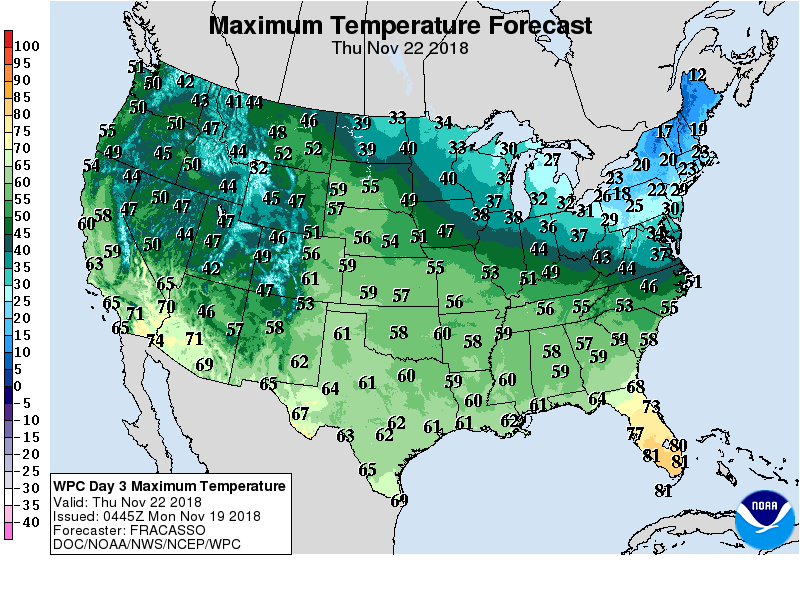
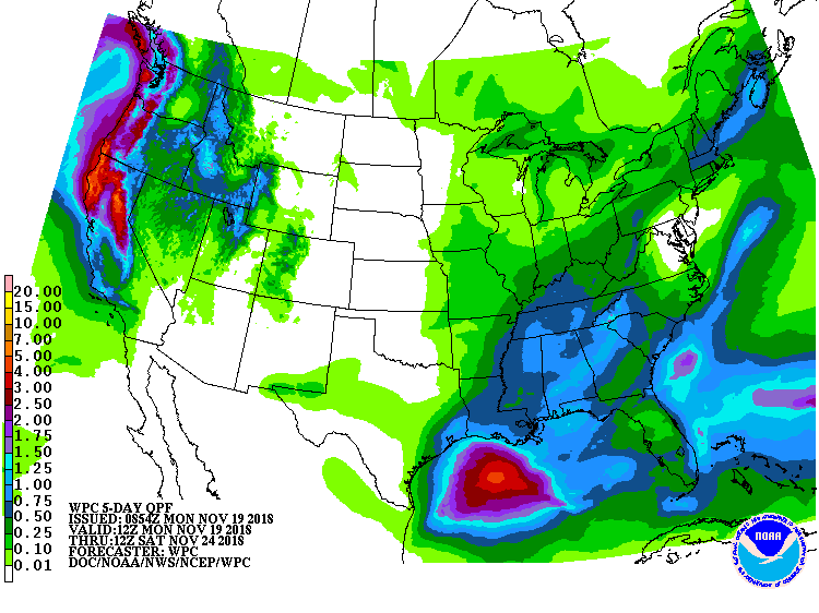 In advance of the storminess, warmth will expand eastward across nation’s mid-section during the second half of the week. In contrast, cold air will engulf the Midwest and Northeast, as a high-pressure system moves across the lower Great Lakes region by Thanksgiving Day. By week’s end, precipitation should develop in the Mississippi Valley and begin to spread eastward.
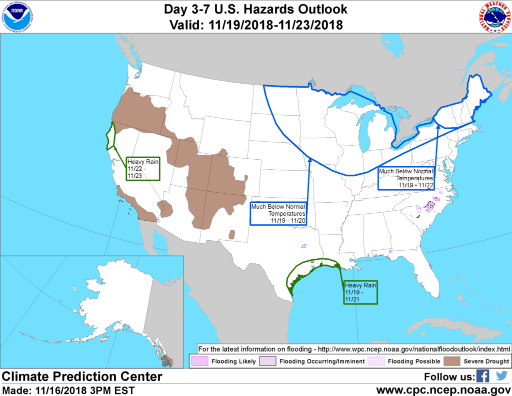 Looking ahead, the 6- to 10-day outlook calls for near- to below-normal temperatures in New England and from the Rockies to the Mississippi River, while warmer-than-normal weather will prevail in the Great Lakes region, middle and southern Atlantic States, and the Pacific Coast States. Meanwhile, near- to below-normal precipitation from southern California to the lower Mississippi Valley should contrast with wetter-than-normal conditions across the remainder of the country.
Add Comment