Weather
Heat again expanding on the Plains; fair weather across the Corn Belt
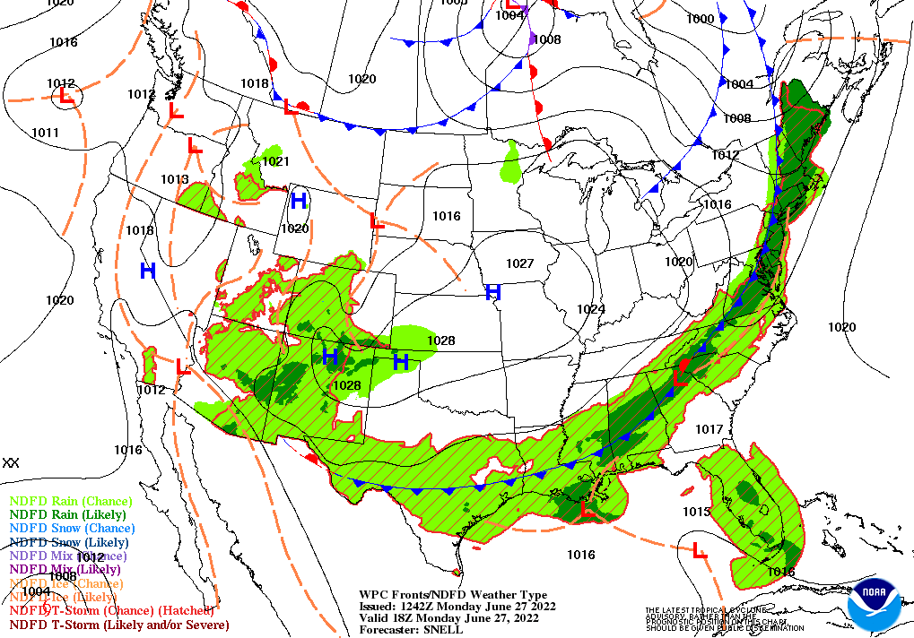
Across the Corn Belt, mild, dry weather prevails in the wake of a cold front’s passage. Monday’s high temperatures will remain mostly below 85°F, favoring corn and soybean development. However, pockets of short-term Midwestern dryness continue to expand, leaving some areas with limited soil moisture as crops approach the reproductive stage of development.
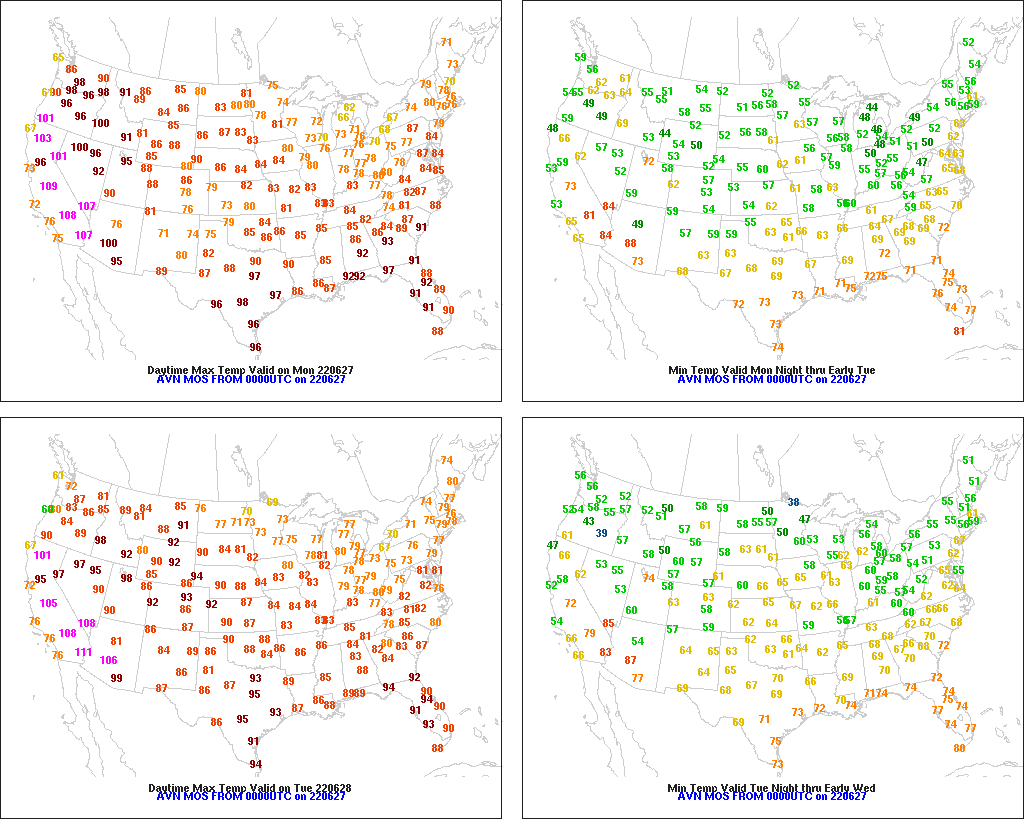
On the Plains, the weather pattern has flipped, with showers developing in drought-stricken Texas and dry conditions arriving farther north. In fact, warm, dry weather on the northern Plains is promoting winter wheat maturation and the development of late-planted summer crops. In Texas, slightly cooler weather accompanies the increase in cloudiness and showers, following a 3-week heat wave.
In the South, a disturbance near the central Gulf Coast is drifting westward. The disturbance’s interaction with a cold front is contributing to an increase in cloudiness and showers, which in turn is helping to lower temperatures and ease stress on pastures and summer crops.
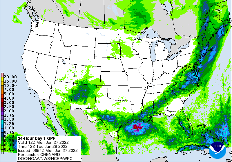
In the West, an active monsoon circulation continues to produce widespread showers in the southern Rockies and environs. With rain falling in the Southwest, the primary wildfire threat has shifted to other areas, including parts of northern California and the northern Great Basin. Hot weather is promoting the development of winter wheat and spring-sown crops across the interior Northwest, where Monday’s high temperatures could reach 100°F as far north as southeastern Washington.
Add Comment