Weather
Colder air, frost & freeze potential next week in the South; stormy weather Southwestern U.S.
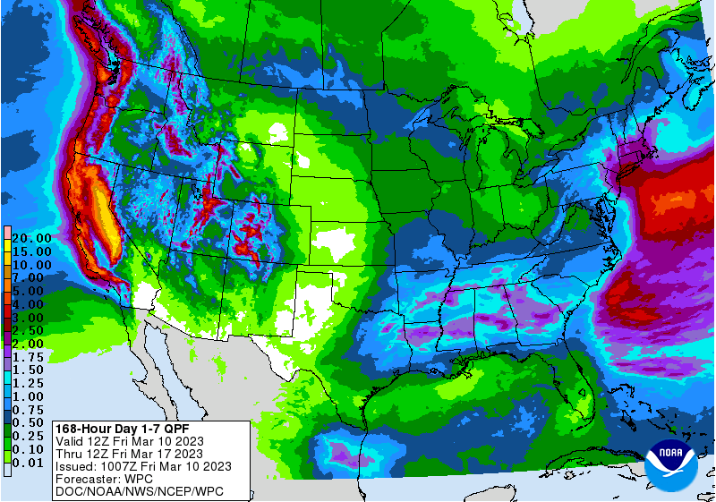
Until heavy precipitation winds down on Saturday in northern and central California (and portions of neighboring states), hazards will include high-elevation snow measured in feet; river flooding and debris flows from as much as 10 to 15 inches of rain; and local power outages due to high winds. Meanwhile, snow in the Great Lakes region and rain across the South will shift eastward toward the Atlantic Coast before ending by Saturday.
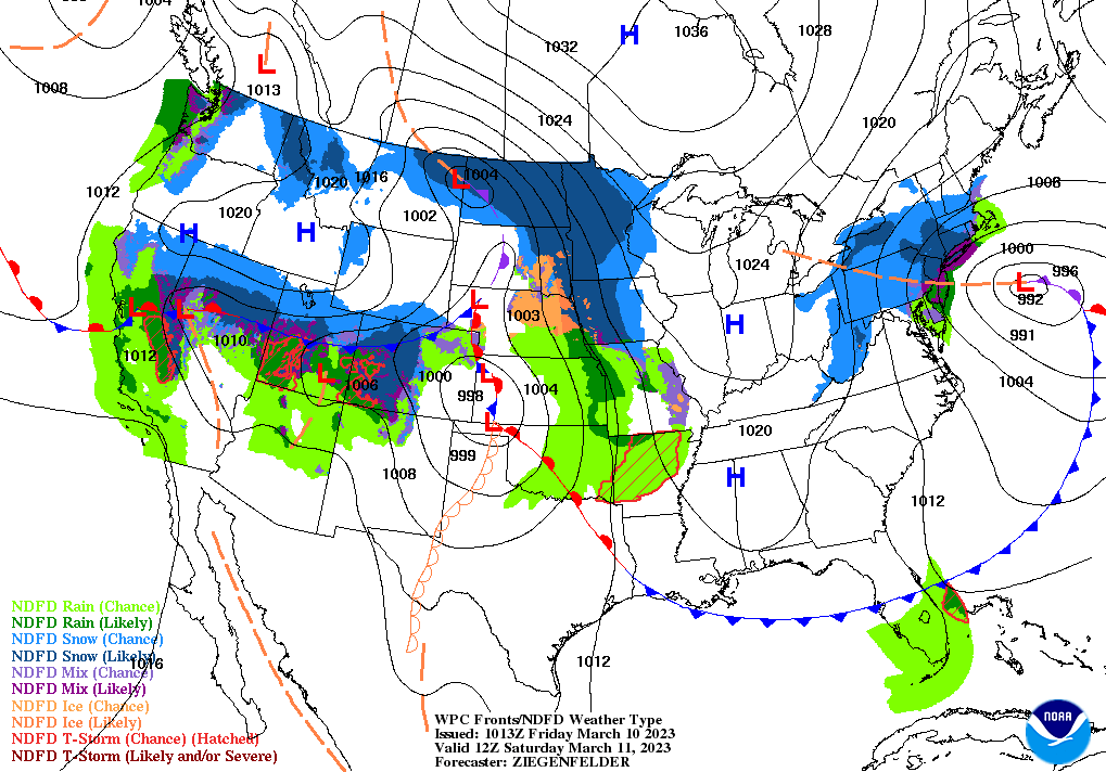
During the weekend, another batch of precipitation (snow across the North and rain showers farther south) will race eastward from the Plains to the East Coast. However, snow showers will linger into early next from the Great Lakes States into the Northeast.
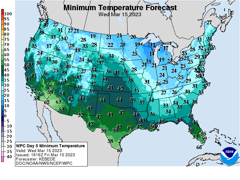
By the middle of next week, colder weather in the wake of that precipitation could result in frost and freezes as far south as Alabama and Georgia.
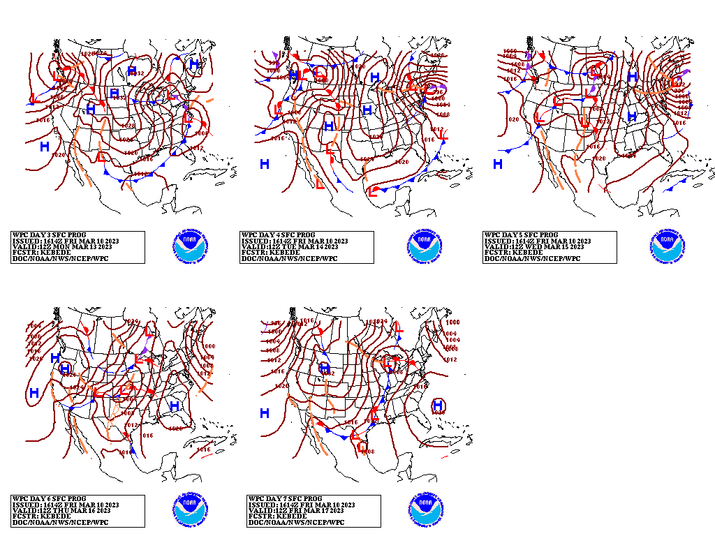
Elsewhere, stormy weather will return across much of the West early next week, particularly in northern and central California, while mostly dry weather will prevail on the High Plains.
Add Comment