Weather
An intensifying early-winter storm impacts much of the Heartland

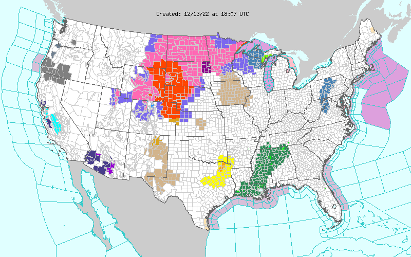
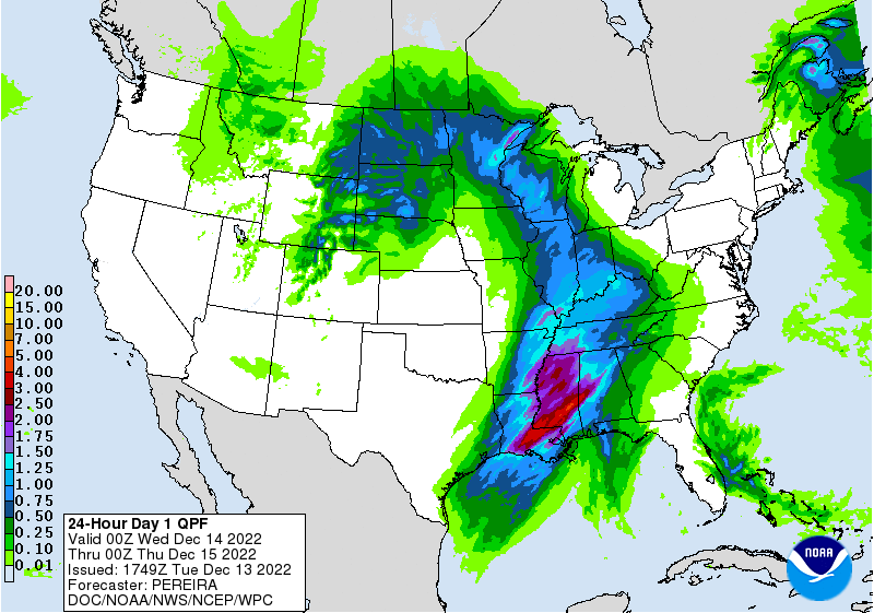
Across the Corn Belt, wintry precipitation—mostly snow or freezing rain—is spreading across the far upper Midwest. Rain is falling across the remainder of the western Corn Belt. In advance of the approaching storm system, mild, dry weather prevails across the lower Midwest, including the Ohio Valley.

On the Plains, blizzard conditions across northeastern Colorado, eastern Wyoming, and western sections of Nebraska and South Dakota are leading to rural travel disruptions and increased livestock stress. A broader area of the northern Plains is experiencing wintry weather (snow or freezing rain), breezy conditions, and falling temperatures. Meanwhile, isolated severe thunderstorms are sweeping eastward early Tuesday across the southern Plains.

In the South, cool weather covers the Atlantic Coast States as far south as the Carolinas. Elsewhere, warm, humid conditions are in place in advance of an approaching cold front. A few showers have begun to develop near the Gulf Coast, signaling a rapidly destabilizing atmosphere. Southern summer crop harvesting is nearing completion; in Florida, for example, the cotton harvest was 93% complete by December 11, ahead of the 5-year average of 90%.

In the West, cool weather prevails in the wake of a departing storm system. Following the most recent storm, the average water equivalency of the Sierra Nevada snowpack is more than twice the mid-December normal. Early Tuesday, lingering snow is mostly confined to the central Rockies and environs.

Add Comment