Weather
Another early-season winter storm for the Heartland
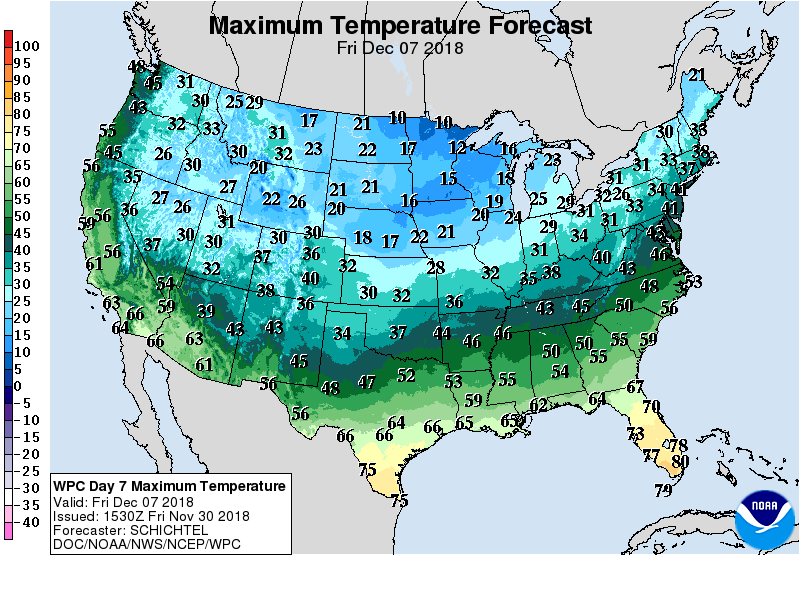 Cold air will engulf the Plains late in the weekend and spread to the Atlantic Seaboard by the middle of next week. Significant precipitation will precede and accompany the surge of cold air, with wind-driven snow blanketing large sections of the northern and central Plains and upper Midwest starting later Friday and continuing into the weekend.
 Meanwhile, storm-total rainfall could reach an inch or more in the lower Midwest and 1 to 3 inches in the mid-South and Southeast, excluding southern Florida. Elsewhere, unsettled, showery weather will persist in the West during the next several days, with snow levels lowering significantly—in some cases to valley floors—during the weekend.
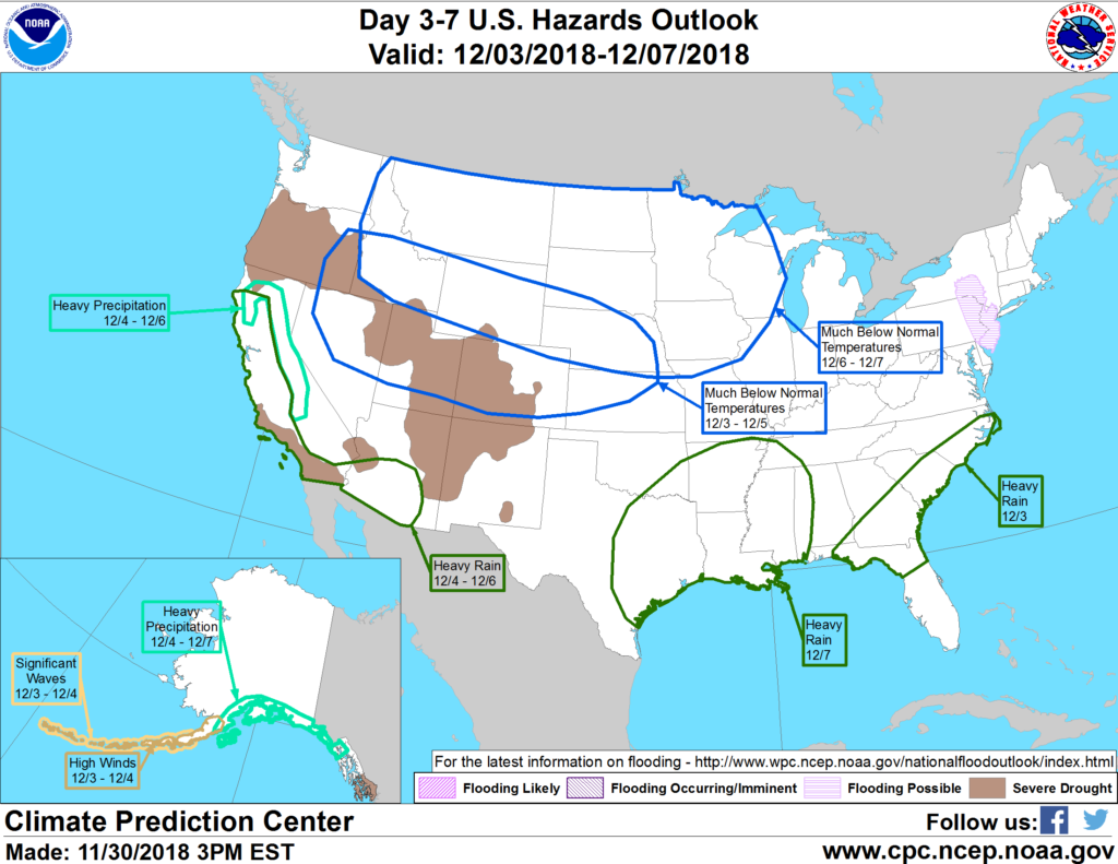 Looking ahead, the 6- to 10-day outlook calls for colder-than-normal conditions nationwide. Meanwhile, near- to below-normal precipitation across the North will contrast with wetter-than-normal weather across the southern half of the U.S., from California to the southern Atlantic States.
Add Comment